13th_Europe_Report -- 03_img_1331.jpg
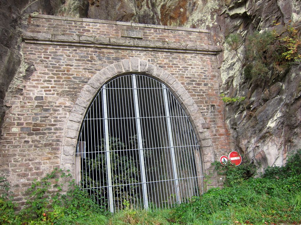
In this vicinity, we think it was near the Kervallon Bridge, we find this barred
entrance to an old train tunnel. The date engraved in stone above the
entrance is "1930". We think it must be part of the military/commercial
rail system that was extended (with apparently many tunnels) from the main rail
system that ended at the station where we first met Monique and Alain 4 days
previously. See
this "Schematic
plan of the Arsenal de Brest"
for an excellent map showing this rail line snaking through this large French
Navy Base that ranges from the iconic Castle/Fortress, around the shoreline of
the Penfeld River up to the Kervallon Bridge, then down river to its mouth, then
southwest along the shore of the Bay of Brest where the WWI US Naval Air Station
was located. This is the area along the banks of the River and shore of Brest
Harbor that is referred to as the "Brest
Arsenal".
We will spend most of this interesting day on the west side of the river and
exploring southwest of the mouth of the river.
First |
Previous Picture |
Next Picture |
Last | Thumbnails

