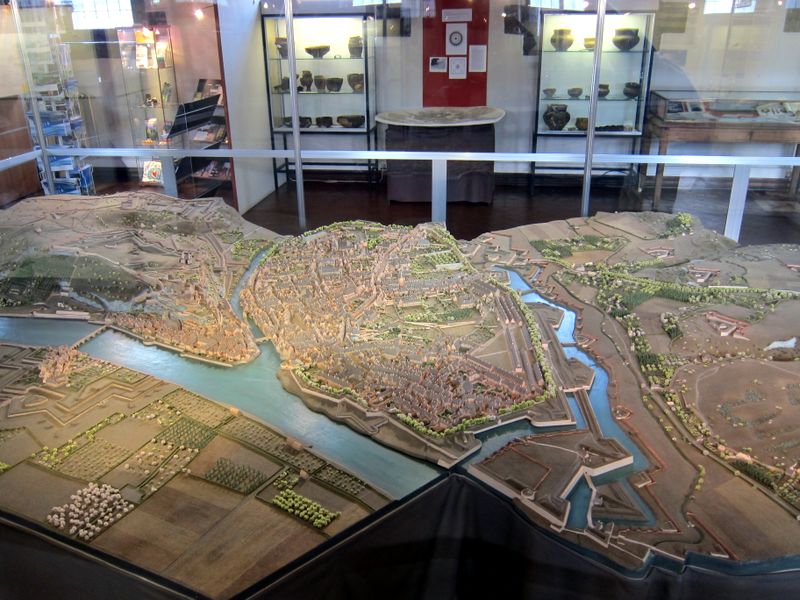
5th_Europe_Report -- This fascinating relief map of the city of Namur is a copy of one built in 1747. It provides insight into the 18th century design and arrangement of the populations, their agricultural activities and concerns as to fortifications. The defensive moat system on the right here has been filled in and this is the current railroad route. Of course the smaller River Sambre merging with the major Meuse River
(left of center) has not changed much in recent centuries.
First |
Previous Picture |
Next Picture |
Last | Thumbnails

