Wednesday, Sep. 19, 2007 - Norway - Drive with Gunleif to high country: Sirdal, Vest-Agder - Head of Lysefjord

Our last full day in Norway breaks with cool damp weather in the Kleppe area.  After the great typical Norwegian breakfast in the Seldal home, first on the day's agenda is a visit to Klepp Foto.  While we enjoy a coffee break in a local mall, the expert photo technician salvages many of the photos from the previous day. However the diagnosis on the memory card for our new camera is not good.  We must buy a replacement of better quality.  With a reasonable amount of Kroners we are out the door with a sigh of relief, but sad to have lost some photos from the previous 2 days.  Outside the clouds hang low on the mountains, but we are next headed to the high country in eastern Rogaland and the Sirdal area of Vest-Agder. Weather should be no bother, for we are Norwegians (or Norwegian-Wanabees). With Gunleif at the wheel of his trusty diesel Viking Toyota, we head out for a wonderful day of fall touring in southwest Norway. 


1

On the outskirts of Ålgard we come to the intersection of Highway 45 which leads to Sirdal, however we will travel south a little farther on E39 as we first have 2 other missions. We will return on 45 via Oltedal at the end of this day.
2

First stop will be near Vikeså.  Peg is looking for a place to get pølse med lompe and hoped the roadside cafe here would have it.  It didn't. A hotdog in a bun had to suffice.
3

Driving east on 503 we go off on a side road to look around the Malmeim farm area. Some of Gunleif's research hints that Keith's Madland family might have lived in this area at the time his g-g-grandmother Serena was born.
4

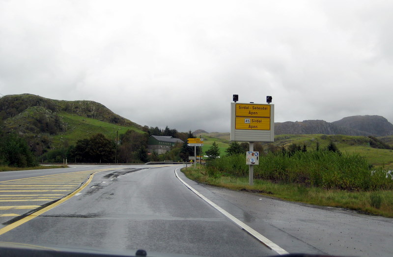
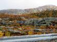
Our next stop will be farther east at the 
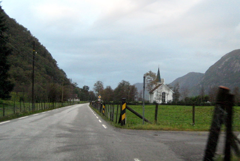
famous Gloppedalsura. 
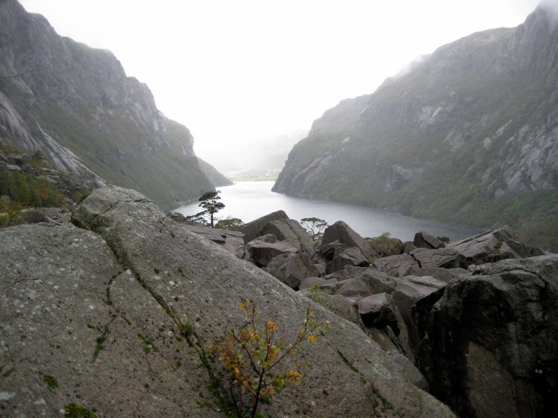
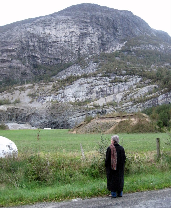
Thousands of years ago a huge rock slide covered this valley, some boulders as big as houses. This area is also known for a WWII battle where a small number of Norwegian soldiers held off a much larger number of German invaders.
5

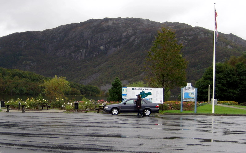
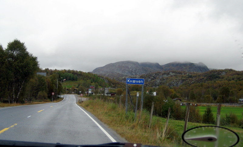
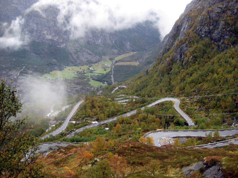
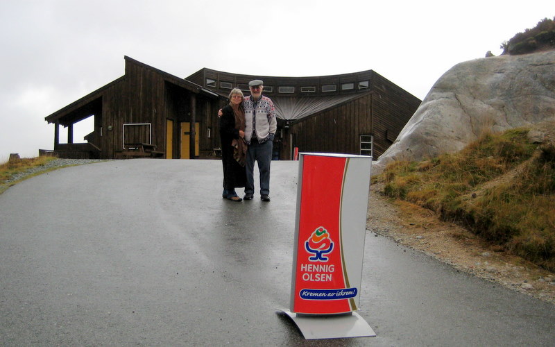
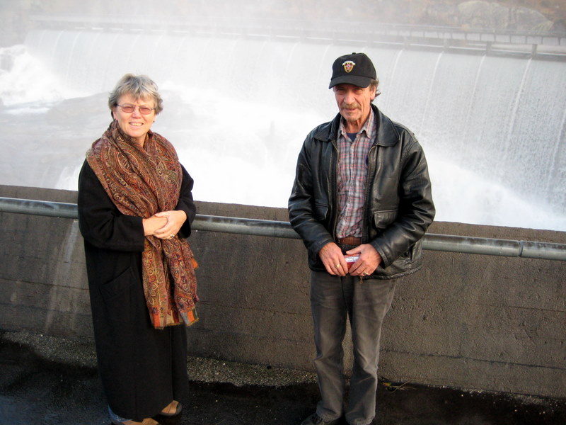
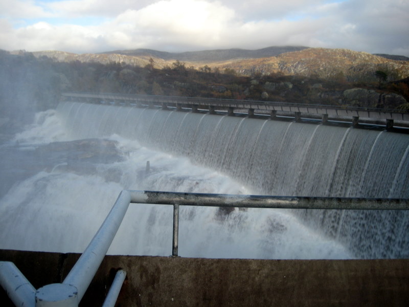
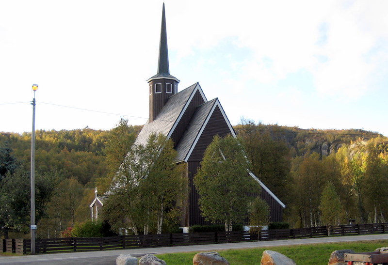
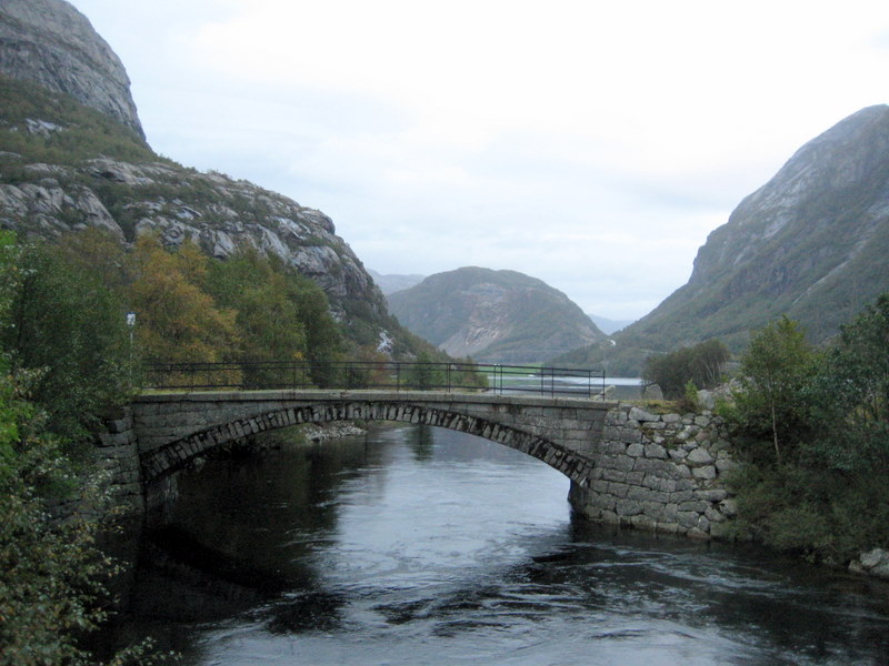
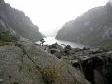
While we had been to Gloppedalsura & nearby Byrkjedal before in 2000, we had never traveled farther east up the Øystabø Valley (Øystabødalen) & the more eastern Hunnedalen.   Highway45, the scenic river, numerous waterfalls & periodic lakes added to the beauty of this terrain.
6

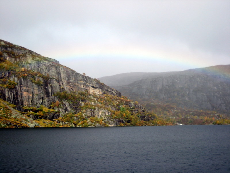
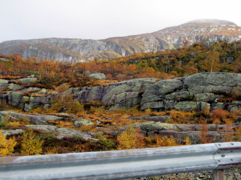
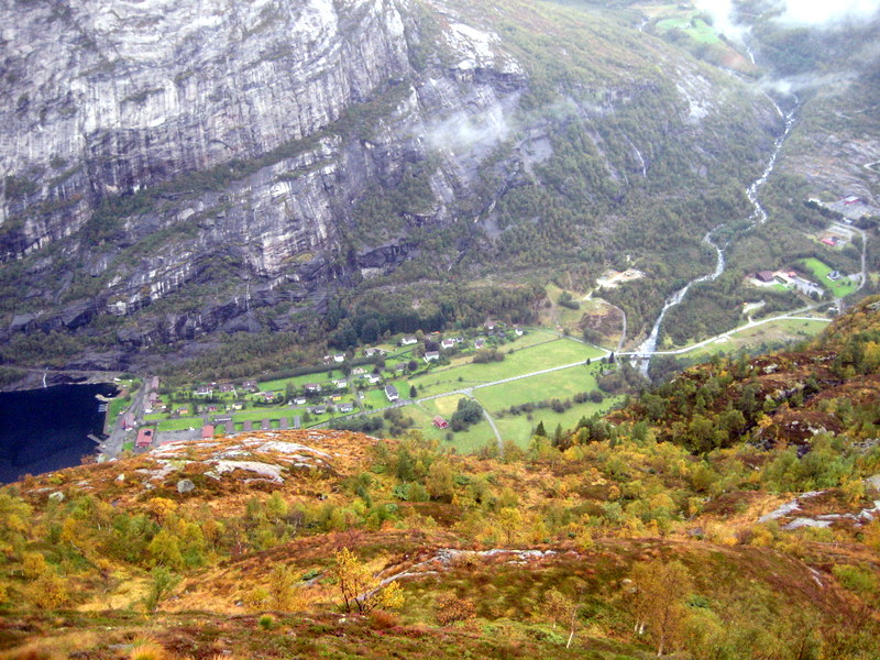
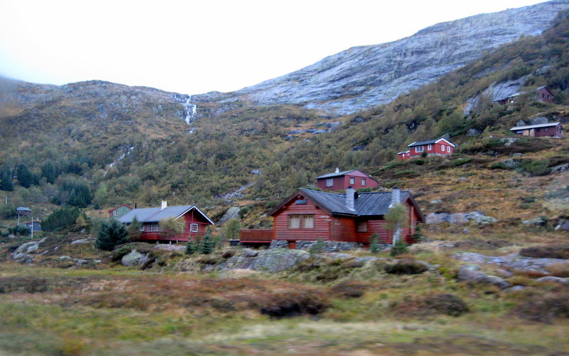
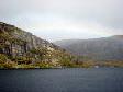
What a beautiful drive to the high country up through this rugged rock mountain crevice. Fall colors became more apparent. As the clouds & patches of sun vied for prominence we were often treated to added color by rainbows.  
7

Here, having entered Vest-Agder &  ski resort areas, we come to a major intersection in the Sirdal region. We will turn left & head north here at Svartevatn Lake.
8

As we drive through this higher country the clouds sometimes hamper our distant views, but we still get an idea of this mountainous terrain with scattered communities. Here we enter Kvæven.
9

A little farther north we come to Fidjeland, a place name that rings some bells for Keith. Here, off the main road to the east is a large ski resort with new hotel & expanding facilities.
10

North of Fidjeland we turn west and climb over an even higher barren rocky area. Here we reenter Rogaland fylke.
11

An interesting, whimsical custom that has apparently become a compulsion is the stacking of little rock upon this stone landscape. Here many surround this "Lysebotn - Sirdal" informational sign.
12

Hitting a fogbank & descending a steep switchback road, we do not get much of a familiar view until we stop at the end of the road. Yes, here we are at a familiar place - the east end of the Lysefjord! (See our 2000 visit here)
13

Something new has been added in front of the Lyse building - this modern Pelton Wheel on display now as a sculpture.
14

Falling water power is every where evident on this wet day. Gunleif mentions that he pays his personal electricity bill to the Lyse power company, as do many Norwegians in this whole region.
15

Happily the fog starts to lift as we drive back up this windy road that we had only read about previously in tour books. Over 2 dozen switchbacks & a 1.1 km long tunnel (yes, we met an oncoming truck on the way up - survival, no problem). No wonder this road will soon be closed for the winter.
16

From this great view point at the Øygardsstøl (Eagle's nest) restaurant we get a bird's eye view of Lysebotn & the end of the fjord. Even on an overcast day the views were stunning. One photo can not do justice here. (We tried a mini video that we might upload later.)
17

Of course the restaurant was closed on this off-season day. Gunleif did take this photo of us to commemorate this special day & place. Nearby is the trail head that leads to the famous Kjerag base jumping point (over 3,200 feet above sea level!). [See Video] (No, not for us old folks!)
18

We retraced our travels between Lysebotn & Sirdal, but then Gunleif takes a side road to show us the dam, lake & hydro works at the Kiln Dam on the northern part of the Valevann Lake system. 
19

This is another part of the huge hydro-water system that Gunleif first introduced us to at Åna-Sira on the southern coastal tip of Rogaland - just the day before. This system of reservoirs & dams goes even father north into the fylke of Aust-Agder! 
20

Back in Sirdal we stop in Kvæven near the information center where we see this interesting memorial related to a Jan. 1946 crash of a British B-24 Liberator. All 8 crewmembers were killed when the plane crashed in the mountains near Lunde south of here. The airmen were buried at the British Military Cemetery in Stavanger.
21

Across the road from this memorial, we spend some time around the "Kvævemoen Kapell" with its attractive architecture & pleasant setting.
22

Of course where we spend most time is in the graveyard behind this church. Here Gunleif seeks & finds relatives. He photographs the stone for his aunt or grandaunt who was buried here in 1952.
23

Heading back down Highway 45 towards Rogaland we pass dozens of these small vacation huts, many with small wind &/or wind generating systems on their roofs.
24

A comfortable & scenic ride down the valleys, we near the little community of Byrkjedal with its acclaimed restaurant & candle shop. We stopped, but it was late & everything was closed.
25

Having turned northwest at Byrkjedal, we drive up the Dirdal Valley & see the Dirdal Church ahead.
26

Turning westward & inland at the base of Høgsfjord we take a rest stop near this old bridge & the west end of Ragsvatnet Lake. In the far distance can be seen a bit of the Morka farm where some of Keith's ancestors once lived.
27

At the same stop, Peg looks out over the fields of the Rage farm. It is getting late by now & it will be too dark for any more good photos as we drive through Oltedal & Ålgard on our way back to the Seldal home near Kleppe.
28

It has been another great, but tiring, day. Of course Kate had to work at her regular job while we took Gunleif away from his to be our tour guide. The weariness can be seen on these 3 faces as we relax in the spacious Seldal living room, looking at family photos on the computer.

Back to Europe 2007 Index Page

Hit Counter