 |
 |
 |
 |
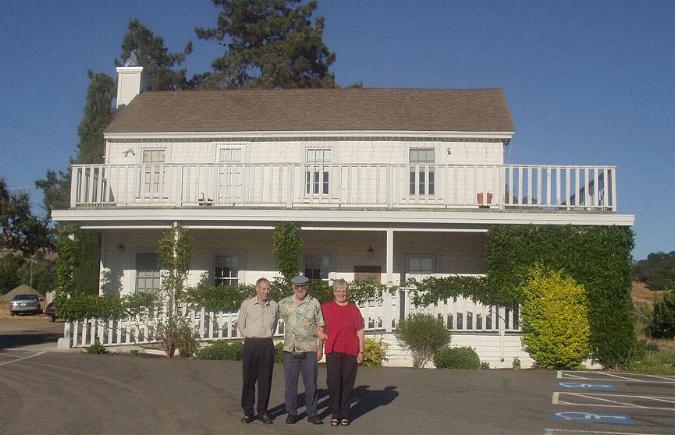
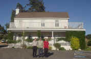
| The Slogviks flank Keith in
front of the Soscol House in July 2002. Family members initially
believed this house once belonged to the Andersons. |
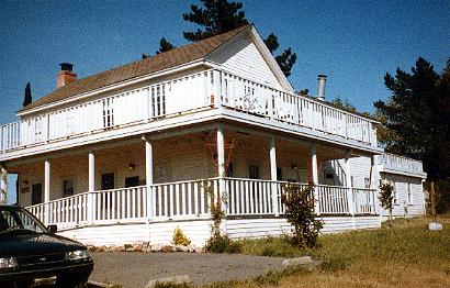
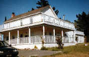
An earlier photo of the
road house run by Serena & her son after Jacob's death. Photo
taken ca. 1998. |
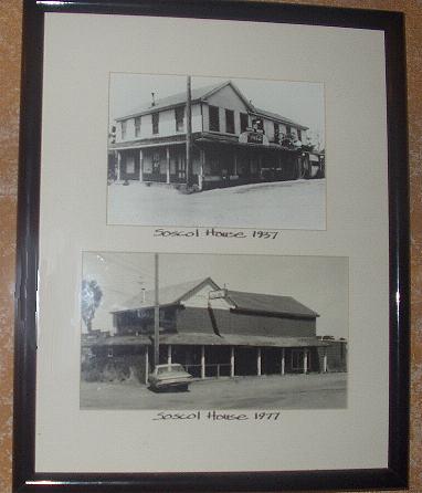
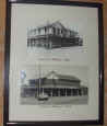
Photos of Soscol House in
1937 & 1977 hanging inside the Villa
Romano Restaurant. Photo taken Jul. 2002. |
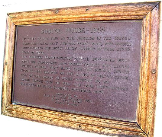
Historic plaque mounted on
exterior west wall - indicates Soscol House was built by Elijah True in
1855. Photo taken Jul. 2002. |
 |
 |
 |
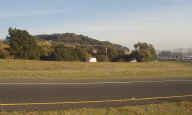 |
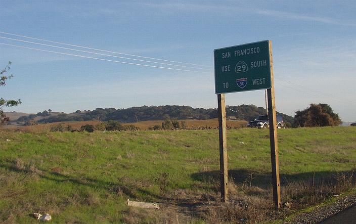
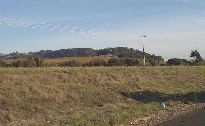
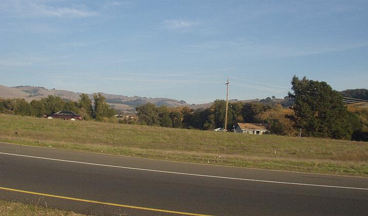
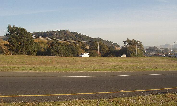
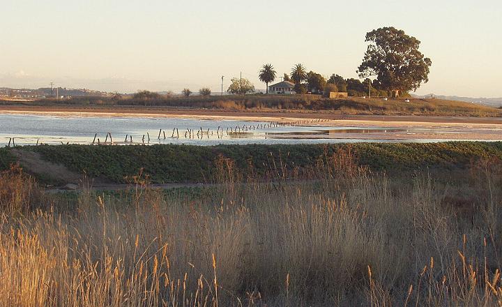
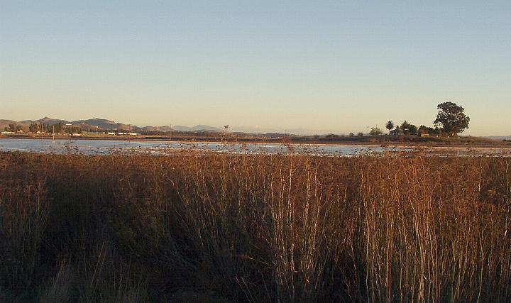
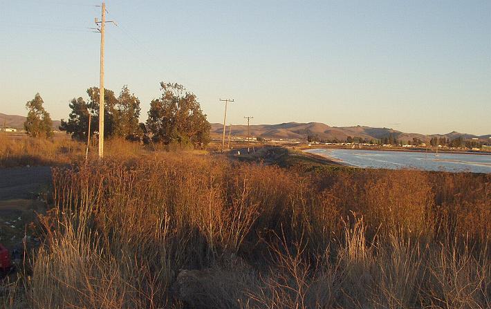
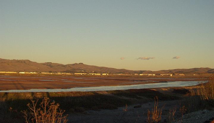
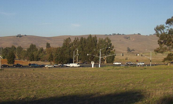
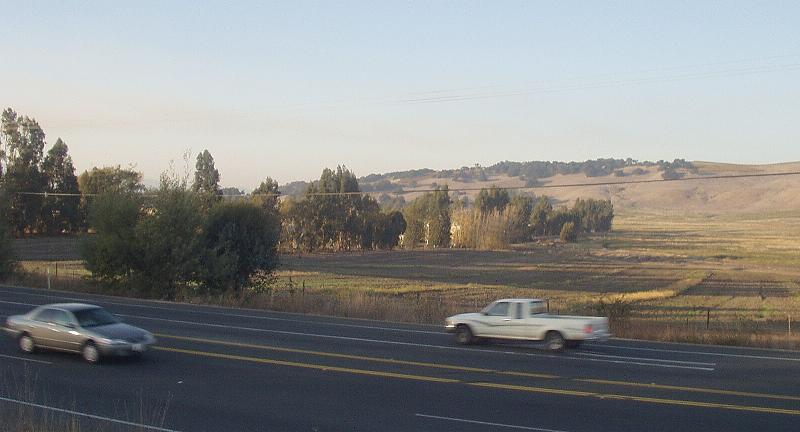
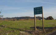
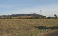
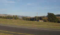
| These 4 photos were taken while driving south from
Napa on the Soscol Ave Hwy & approaching the very busy
intersection with State Hwy. 29 (not an easy place to
stop & take pictures). These views, in an easterly
direction, include the Section 36 ("School Section") where Jacob
may have first owned land. This is just northeast of the present
location of the Soscol House. |
 |
 |
 |
 |
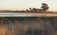
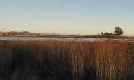
| This view is of "Green
Island" (#2) as seen from the west end of Green Island Rd, looking
southeast from the river levee. |
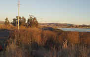
Also from the end of Green
Island Rd, this view of Green Island shows more land lying to the north
and east of the "island." |
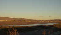
Again from the end of Green
Island Rd, this view to the east shows the area of the road & the
paralleling railroad. (center #5) |
This view from the railroad
bed shows land in north portion of #5, north of railroad. |
 |
 |
 |
 |
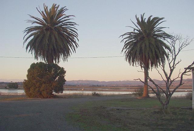
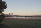
| View from center of
"island" looking northeast. Old house stood between &
behind the 2 palm trees. |
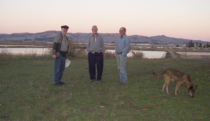
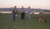
View east with Keith, Floyd
Stone & caretaker Carl standing where old house once stood. |
View northwest from old
house site with railroad draw bridge a prominent feature. |
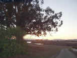
View to the south west from
the "island" looking past the huge old eucalyptus tree which
stands by the driveway. |
|
 |
 |
|
|
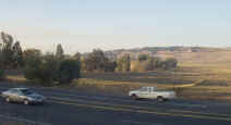
*Looking northeast, this is
a view towards the Section 1 (#6) parcel. The busy intersection of Hwy
12 & N. Kelly Rd is in the foreground. |
*This view from south of Hwy
12 looking northwest shows the western portion of Sec. 1 (#6). |
|